
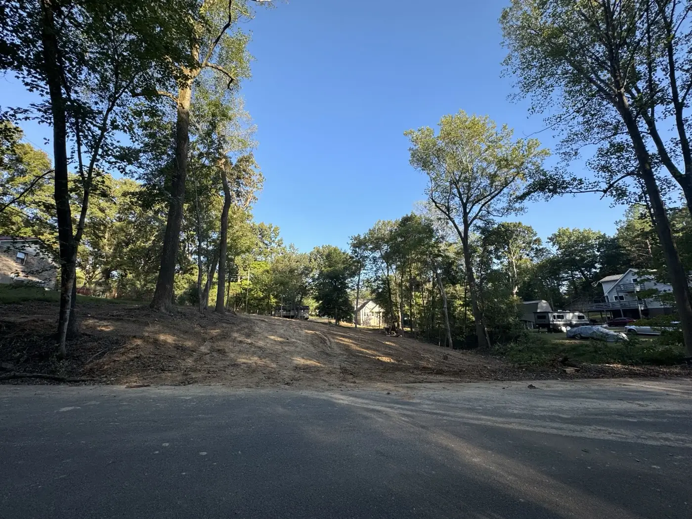
Land Clearing
We clear lots and acreage of trees, brush, and stumps across Montgomery County and Middle Tennessee. The ground gets cleaned up so it is ready to build on or put back into pasture.
Learn More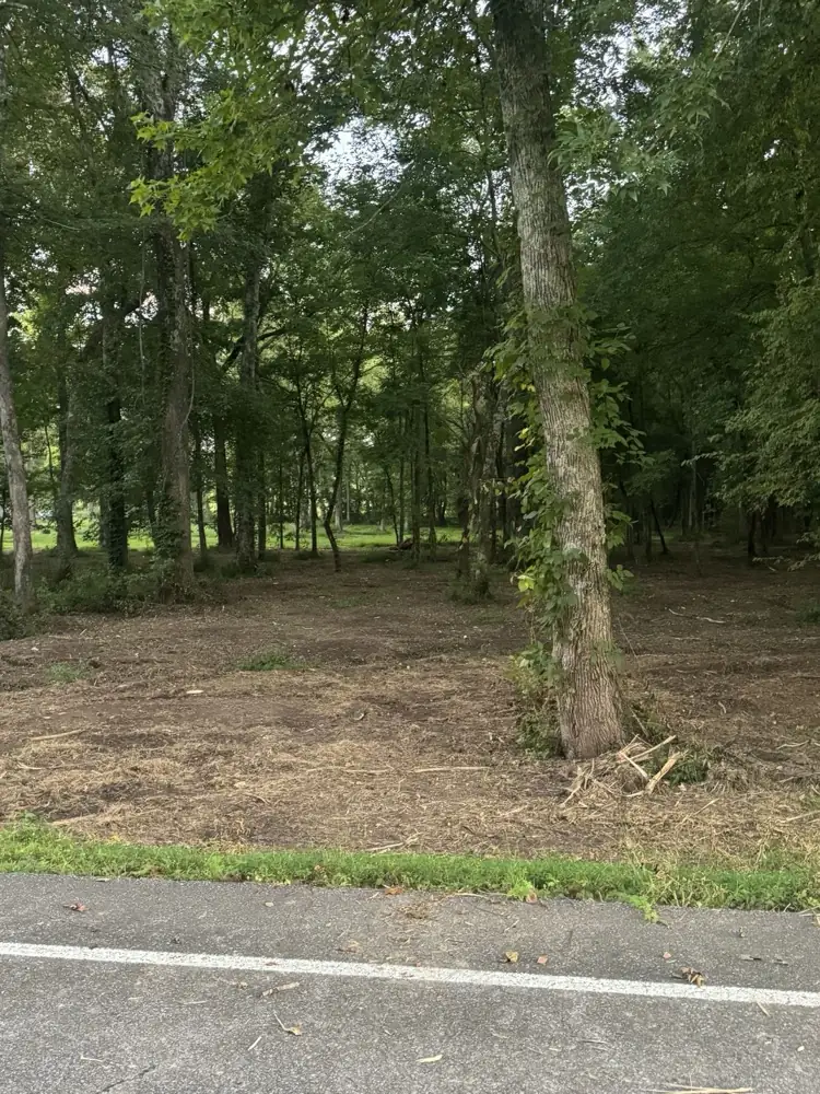
Erin, the Houston County seat, got its rail stop because of a slope. Trains could not stop at Arlington, the first county seat, because it sat on the grade of the Tennessee Ridge. Erin sits at about 480 feet, and Tennessee Ridge, less than four miles west, sits 262 feet higher. Narrow valleys break up the county, so a house site often needs a pad cut into the hillside.
Wilson Forestry and Excavating is based in Woodlawn, just west of Clarksville, 16 miles from Erin as the crow flies. That makes Houston County local ground for us. We handle excavation for basements and footings, plus site prep and grading on Houston County lots. Call or text (931) 572-8673 for a free estimate.
Tell us about the job and the ground. We will get right back to you.
The Tennessee Ridge runs north and south through Houston County. It is the watershed between the Tennessee and Cumberland rivers, and the Tennessee River forms the county's western line. Wells, Guices and Yellow creeks drew the first settlers in the late 1700s. Later settlers crossed the ridge to White Oak, Cane and Hurricane creeks, which run to the Tennessee.
Erin lies on the Western Highland Rim, the hilly band west of Nashville that reaches the Tennessee River valley. The rock under it is mostly limestone, chert, shale and sandstone. Basement and footing digs can reach that rock, so every estimate starts with a look at the site.
A level pad on a hillside is part cut and part fill. Soil from the uphill cut becomes fill on the downhill side, packed in layers so it can carry a house. Builders and commercial contractors bring us most of this dig work, for houses and commercial buildings.
In the 1850s, blasting for the railroad bed turned up rock layers set at an angle instead of lying flat. State Geologist James Safford studied the find and named the site Wells Creek Basin. Geologists now count it as an impact crater, about 7.5 miles across.
The crater's center sits about 5 miles north-northeast of Erin, near Cumberland City. Rings of faults surround it, and the rock at its core is broken as well as tilted. With layers like that, rock depth can change across a single house site.
For a basement or a deep footing near Wells Creek, the surface gives few clues about what lies below. We size up the ground in person first, then price the dig and plan the cut around what turns up.
Erin grew as a lime and timber manufacturing center, and the community of Stewart started the county's lime industry. Timber is still a big part of the county economy. The creek valleys hold rich soil, and the ridges carry lighter ground that suits grass.
Land clearing around Erin turns a grown-up lot into ground you can build on or graze. After the trees are down, the thumb on an excavator pulls each stump before cleanup. Forestry mulching on Houston County land grinds undergrowth down to a layer of chips right where it grew. Bush hogging cuts a field of weeds and briars back to pasture.
The 2020 census counted Erin and nearly all of Houston County as rural. A creek-bottom or ridge-top home site needs a drive that holds up in hard rain. Our roots are in timber roads, built to carry loaded log trucks for a timber company. That is why gravel driveways and access roads for Erin properties are a specialty for us.
Cut slopes in these hills have a history of moving. Slides in the railroad cuts west of Tennessee Ridge stalled construction. The line to Paris was not finished until April 1861.
A normal year at Tennessee Ridge brings about 55 inches of rain. March is the wettest month, when Erin holds the weeklong Irish festival it started in 1962. Erosion control around Erin keeps fresh cuts and ditches from washing out.
Silt fence catches loose soil, and rock check dams slow the water in ditches. A stabilized entrance keeps mud off the road. Where water leaves the site, riprap keeps the outlet from scouring. Bare ground gets seeded and covered with matting.
Water causes trouble around houses too. If water pools by the foundation, regrading and French drains carry it downhill, clear of the house. For underground utilities, a water line or conduit goes in a trench we cut and backfill.
Communities and areas we serve around Erin: Tennessee Ridge, McKinnon, Stewart, Wells Creek, Guices Creek, Yellow Creek, White Oak Creek, Cane Creek, Hurricane Creek, Cumberland City.
Erin ZIP codes served: 37061.
Free estimates throughout Houston County and the surrounding area.
(931) 572-8673 We clear lots and acreage of trees, brush, and stumps across Montgomery County and Middle Tennessee. The ground gets cleaned up so it is ready to build on or put back into pasture.
Learn More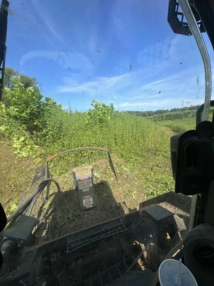
A skid steer with a forestry mulcher head grinds brush, saplings, and undergrowth into mulch right where it stands. We also bush hog overgrown fields and pastures back to usable ground.
Learn More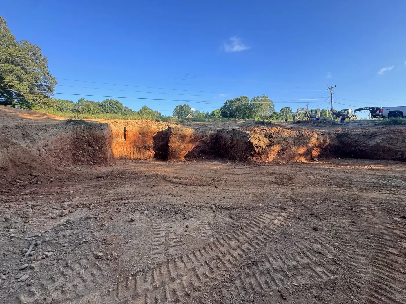
We handle the dirt work before a build: building pads, cut and fill, rough and finish grading, and driveway cuts. The ground ends up level where it should be and sloped so water leaves the site.
Learn More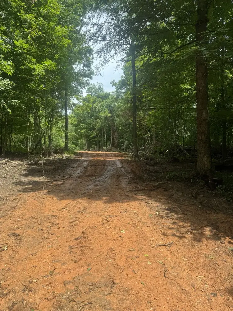
We build new gravel driveways, farm roads and access roads across Montgomery County and out toward Nashville. The road bed gets cut and stoned, then crowned so water sheds off instead of standing in the tracks.
Learn More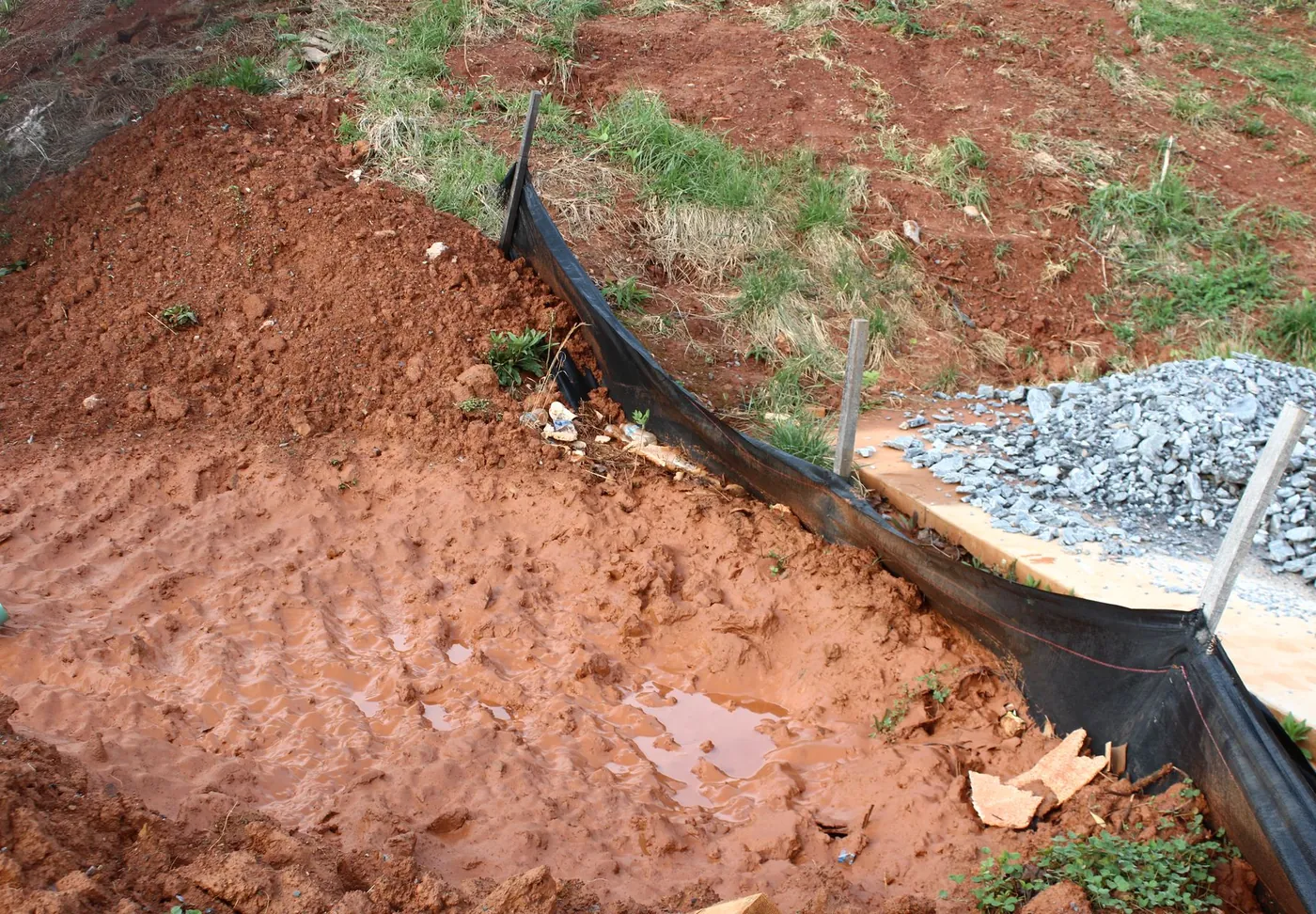
We install erosion control measures that keep soil on site and out of the ditch: silt fence, rock check dams, riprap and seeding.
Learn More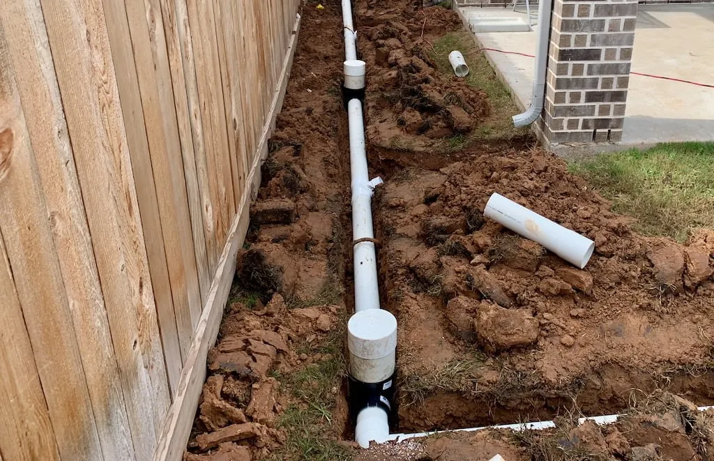
Water standing in the yard or against the house needs a way out. We regrade the ground and put in French drains and pipe that carry it off.
Learn More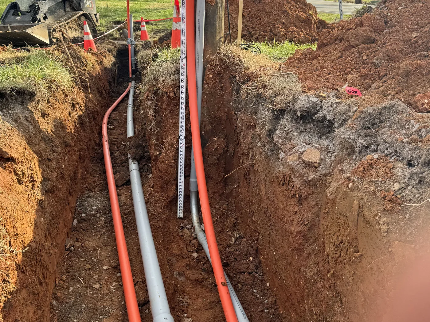
We trench and backfill for water lines, electrical conduit, sewer lines, and septic lines. Your plumber or electrician makes the connections, and we handle the digging and the ground work.
Learn More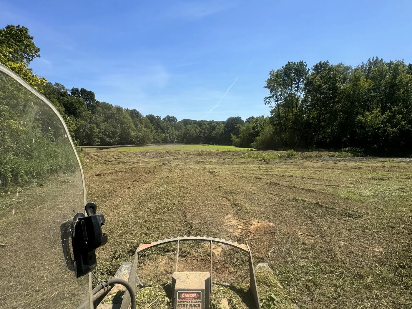
A rotary brush cutter on the skid steer knocks tall grass, weeds, and briars flat. One pass puts an overgrown field or pasture back to open ground you can use.
Learn More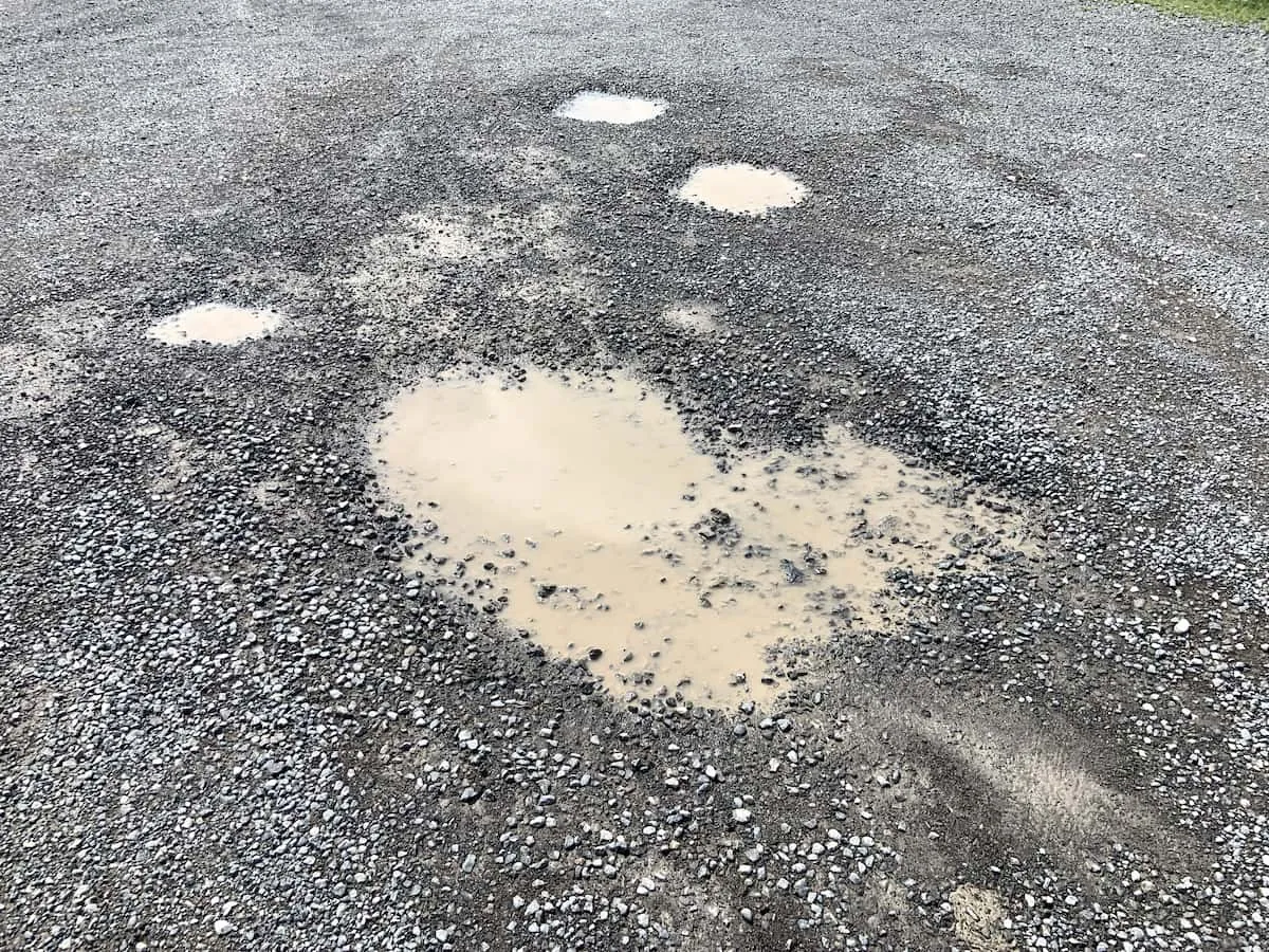
We fix gravel driveways and farm roads that have gone rough. The old surface gets cut loose, reshaped and crowned, then new stone goes on top.
Learn MoreA few of the questions we hear most around Erin. If yours is not here, call or text and ask.
Tell us what the job is and where the property sits, and we will get you an estimate. You can also call or text (931) 572-8673 if that is faster.
Tell us about the job and the ground. We will get right back to you.